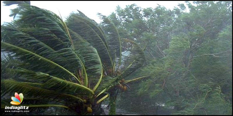
Red alert for TN: Cyclone moves closer


Send us your feedback to audioarticles@vaarta.com


It was already announced that a cyclonic circulation is likely to develop in the extreme southeast of Bay of Bengal, in the equatorial region of the Indian Ocean on April 23. By the 25th, the system would apparently grow stronger and turn into a low-pressure area and intensify into a cyclonic storm by the end of the month.
Although a clear picture on the landfall of the cyclone named Fani will only be comprehensible by April 27, the Indian Meteorological Department has issued “red alert” to Tamil Nadu, asking to take necessary precautions. “It is to be named as Cyclone Fani and by that time, it would have reached Southwest Bay of Bengal, close to Sri Lanka. Gradually, it will come in close proximity of North Tamil Nadu coast in the Southwest Bay of Bengal. Weather models are then showing a tendency of the system to move more of north-northwestwards and re-curve thereafter,” MeT’s bulletin read.

Apparently, the system might become more intense, leading to heavy rainfall over Tamil Nadu, including Chennai, for a prolonged period. Fishermen have been advised to not venture into the sea until April 30.
Follow us on Google News and stay updated with the latest!
-

Anvika Priya
Contact at support@indiaglitz.com


 Follow


-a3e.jpg)
-3c4.jpg)
-e5c.jpg)
-e66.jpg)
-71b.jpg)
-5d5.jpg)
-adc.jpg)
-798.jpg)

-7c2.jpg)


Comments